Our Coast, Our Future is a partnership between Point Blue Conservation Science and the US Geological Survey. This collaborative, user-driven tool provides coastal California resource managers and land use planners with resources to understand, visualize, and adapt to sea level rise and coastal storms.
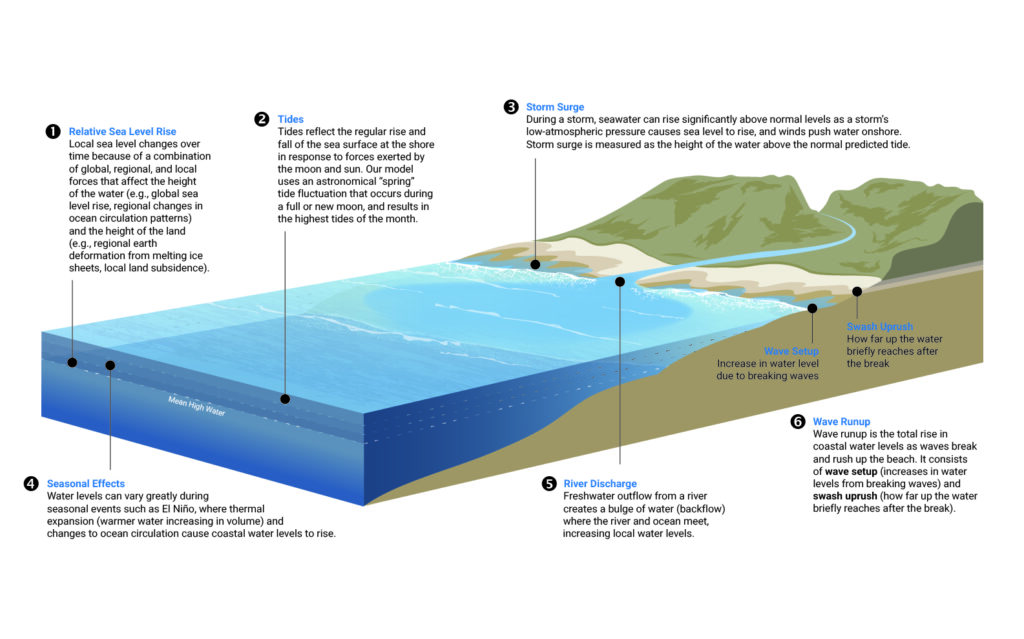
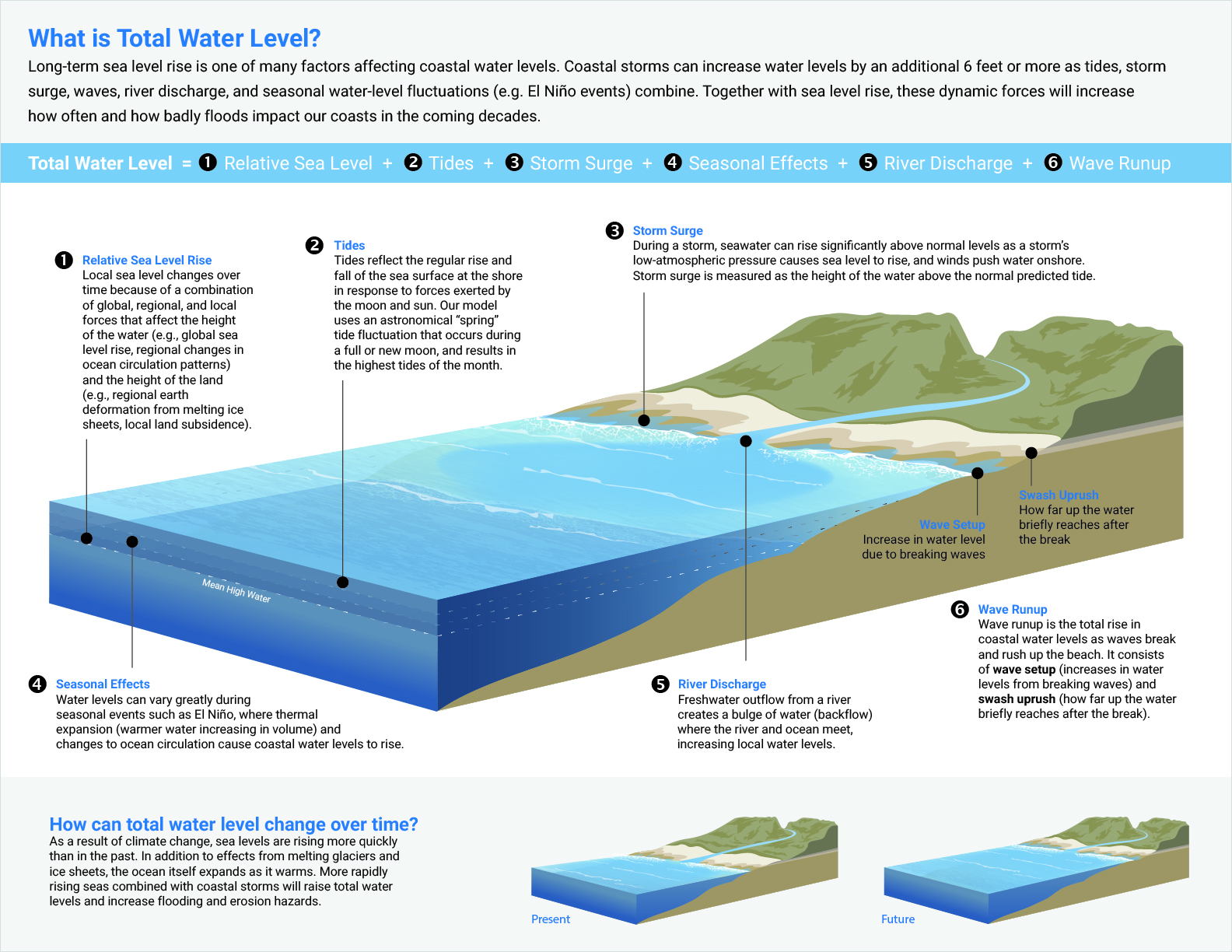
The scientists behind OCOF needed a suite of custom illustrations to showcase how their modeling program translates complex concepts related to shoreline erosion, cliff retreat, flooding, wave patterns, and groundwater into a practical tool that can easily generate sea level rise and storm scenarios for climate adaptation planning.
